
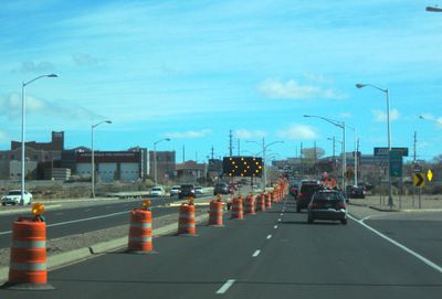
The Department of Municipal Development (DMD) maintains an online interactive map of traffic barricade locations at: www.cabq.gov/municipaldevelopment/maps/traffic-report that is accessible by the public. This map provides a quick and easy way to get information about construction activities and other closures on city streets, and includes City projects as well as special events, utility projects, and other reasons for barricading. You can click on any of the “highlighted” streets for details on the barricading, including start and stop dates. The map may not reflect emergency activities such water, sewer, or gas line leaks or closures on streets owned or maintained privately, by the County, or the New Mexico Department of Transportation.